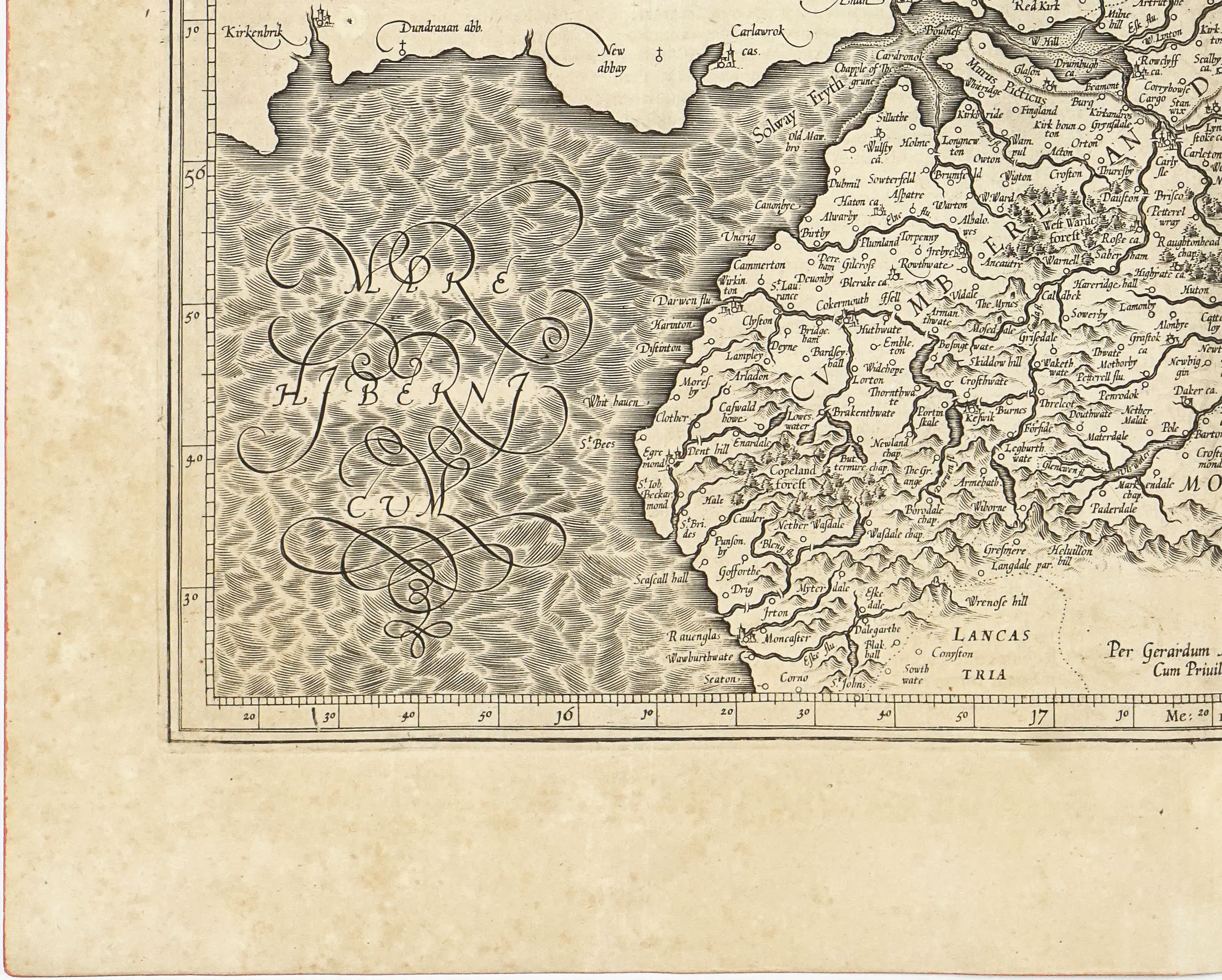


Fine original uncoloured 17th century antique map of the Northern part of England from Mercator-Hondius Atlas Major published in Latin. The map portrays the counties of Cumbria, Northumberland, Westmorland and Durham. One of the prominent features of the maps is the Hadrians Wall (labaled as Murus Picticus) running from west to east coast of Northern England.
Interested in buying this map?
We can ship worldwide! Ask for a shipping quote or let us know if you are considering buying this map.
Interested in the price of this map?
Ask us in the form below. We can ship worldwide!
Want to be notified when it becomes available again?Leave us your e-mail below and we will let you know.