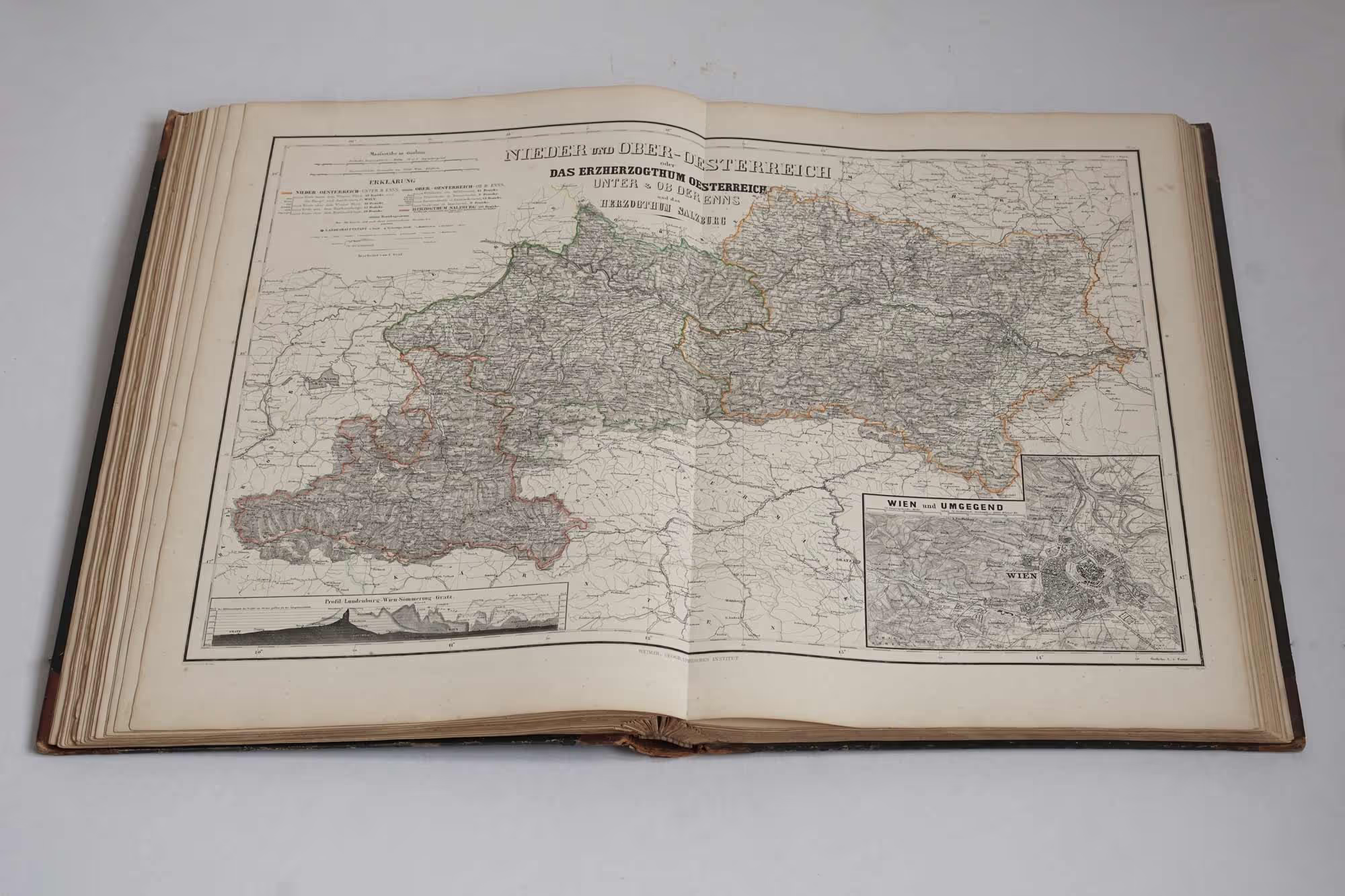
The size of this atlas is amazing. The map sheets are 68,5 cm wide and 57 cm high. The atlas consists of 70 mostly hand coloured double-page maps. It has a beautiful unique title page with engraved terrain map of the Thuringen area (the area where the atlas was being made). The atlas begins with 2 world maps (one in Mercator projection and one hemi-spheres), followed by 2 sheets containing 8 physical maps, and a sheet with a diagram of 8 mountain profiles. The primary focus of this atlas is German empire and Europe, which takes totaly two thirds of the whole atlas.


