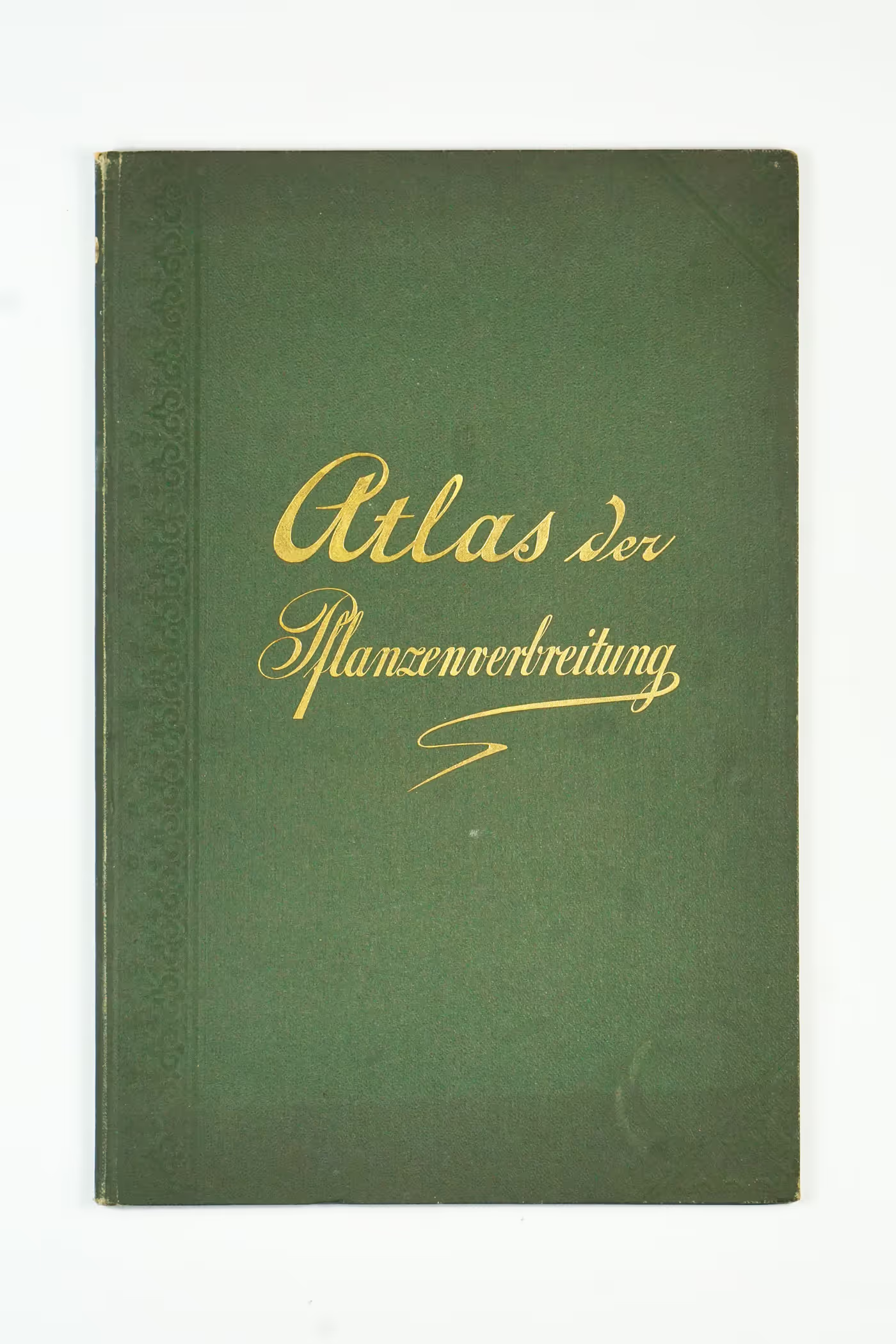
Hardly any other branch of science represented in the Physical Atlas will show the progress that science has made since its first edition in 1848 to the same extent as plant geography. Initially lacking detailed cartography for non-European countries, recent botanical research has provided abundant material for plant geographical maps. Various works on plant kingdom distribution, combined with monographic studies, enable coherent cartography. The exploration of plant physiognomic groups offers new perspectives, such as representing vegetation cover based on formations like forests and deserts. Cultural geography is addressed by showcasing homeland areas extensively, including food plants, herbal medicines, and the drug trade.
Plant geography serves as a mediator, revealing climatic limits and illustrating how geology and zoology influence Earth's surface. The last sheet focuses on cultural geography based on botanical principles, while the preceding seven sheets explain the distribution of plant orders, genera, and species, their formation into floral kingdoms, and their connection to orographic structure and climate.
The atlas is divided into two main groups of maps - a maps of global principles and detailed maps of plant-geographical regions on individual continents. The maps from this atlas were also published together with 67 other maps in the complete 'Berghaus Physikalischer Atlas', the largest and most comprehensive thematic atlas of the 19th century.


.avif)

